
We went to Seremban last week and headed to Gunung Angsi (Mount Angsi) to hike to the 3rd highest peak in Negeri Sembilan.
Gunung Angsi is one of Malaysia’s most beautiful mountains near Kuala Pilah and is only an hour's drive from Kuala Lumpur. We met with a local friend, who accompanied us on the trip.
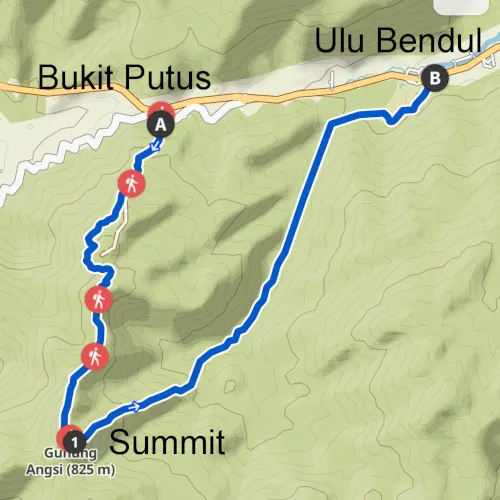
There are two different hiking routes that reach the third highest peak in Negeri Sembilan; the Bukit Putus trailhead and the other trailhead at the Ulu Bendul recreational park.
Booking.comThe Bukit Putus Trailhead

Although both are pretty spectacular on their own, we decided to go along the Bukit Putus route. (GPS coordinate: 2.7275351,102.0553951). Since it was our first time, and this route is much easier for beginners. On the other hand, the Ulu Bendul trail is more challenging, which involves river crossings.
After leaving the car park opposite the main road, we are required to pay RM5 per person at the park ranger’s office. It’s highly advised to use the toilet before you start the hike because there are no restrooms along the hike.

Don't miss out on watching our video shot during our hiking trip at Gunung Angsi. It is at the end of this article. 👇👇
Ascending Gunung Angsi
The hike to Gunung Angsi begins with cemented steps that open up into a slightly secluded portion of the mountain.

This area leads to metal steps which were steep climb. After that, the hike leads to more steep slopes onwards. Eventually, the first portion of the hike suddenly opens up into a flat and broad rest area where hikers can stop for a breather.
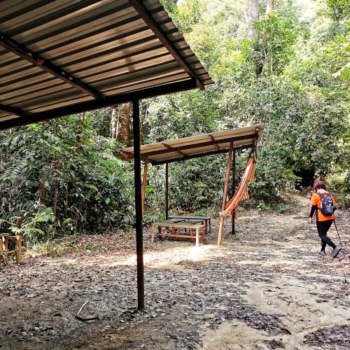
We decided to continue hiking because we were quite amped up about the experience and felt we couldn’t leave it even for a minute.
Although there are several steep climbs, there were many points where the ascent was made easier due to sectioning by ropes.
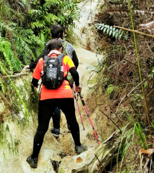
After crossing this high point, we felt it would be much easier. However, the hike only got steeper, to our amusement.

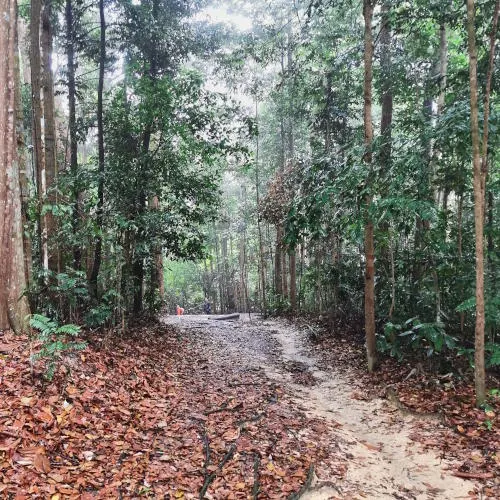
The uneven surfaces due to underground plant growth make it difficult for beginners to pull through. We spotted fallen trees quite a few times. But the grim scene mesmerized us when we began listening closely to our environment.
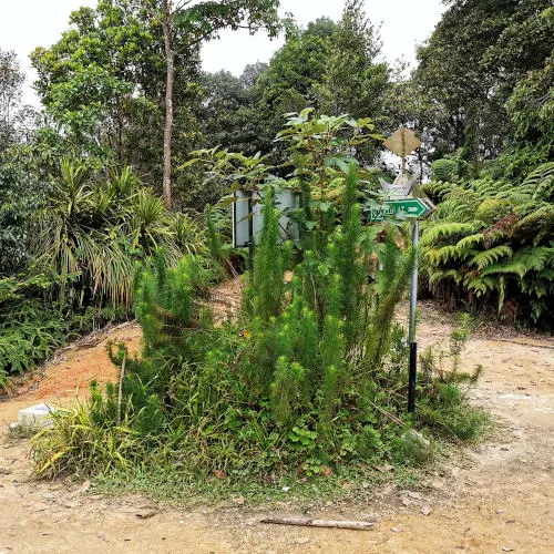
The hiking trail is quite wide and easy to follow. However, it is advisable to get a map to make sure you are on the right track. You can check out the most popular apps such ad Komoot and AllTrrails.
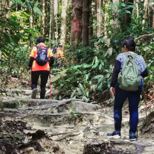
The chirping of insects, the tweets of birds, and the sound of wind rushing against the leaves made us feel really close to nature. The hike had begun to take its toll on us, so we sat down and took a break just 15 minutes from the summit. Here, we took pictures and drank water to quench our parched throats.
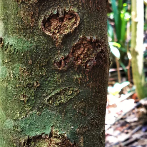
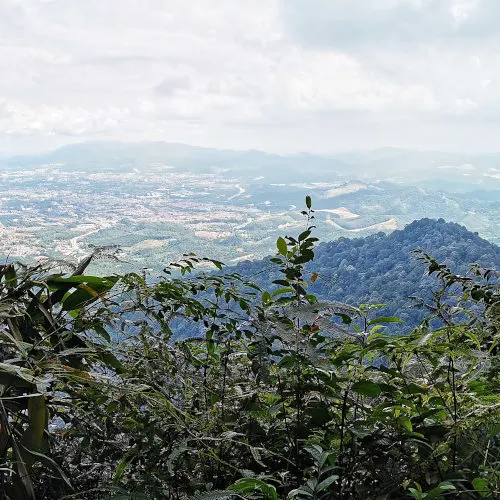
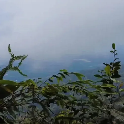
Just a little distance from the summit, there is an excellent viewpoint from where people can see a panoramic view of the entire region.
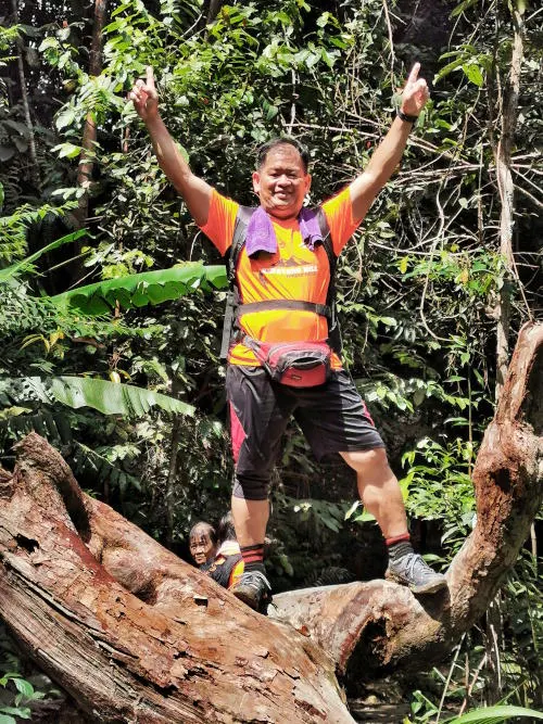
We also met our friends who are avid hikers and were descending from the summit. Seeing them made our moods much lighter, and we continued to the summit.
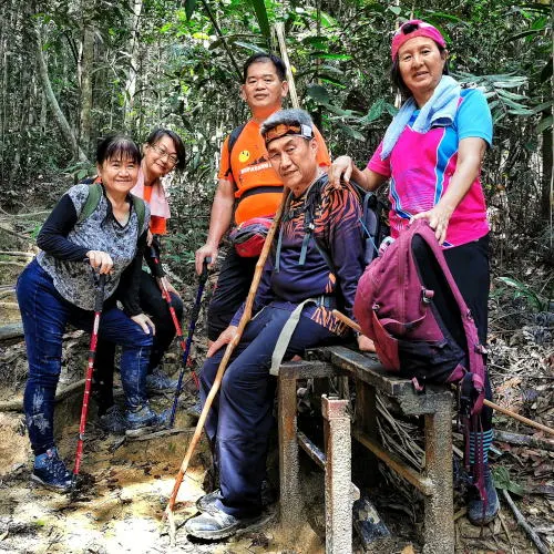
At the summit of Gunung Angsi
We reached the summit in the late morning. We spent a while just taking in the scenery and realized that all the effort that we had made was definitely worth it.
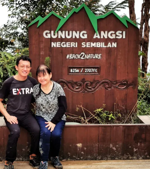
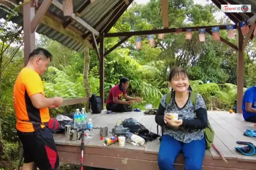
The summit is 824m above sea level. There’s a dainty little covered gazebo, where other hikers have snacks at this shady picnic area.
Our companion had brought a small stove and made us frothy coffees. The coffees were extraordinarily delicious after hours of sweating and burning calories. The sweet, frothy taste made everything more delightful. We made new friends with other hikers and shared our coffee and snacks.
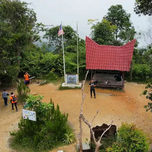
While the view from the summit is beautiful, it’s not quite spectacular since it is surrounded by tall trees all around. However, the feeling of being this close to nature truly makes the trip shine.
It was raining during our descending trip
On our way back, we decided to descend the same trail we ascended because we’d parked our cars near the Bukit Putus trailhead. Plus, we didn’t feel we would do the Ulu Bendul route justice in such a short time and decided that if we wanted to revisit the summit, we’d take the trail next time.
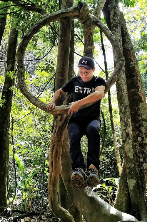
Our descent was unexpectedly tough; we had imagined that climbing down would be easier, but we didn’t factor in the weather. On our way back, it began raining, and everything became wet and muddy, making it extremely difficult to move. We were slipping and had to tread cautiously, but thankfully, the rain was only moderate.
We made our descent safely and unharmed, albeit we returned a little drenched. However, as some of my belongings got wet, I should have brought a waterproof bag. The total distance is slightly more than 11km. We took our own pace, so the total time took more than four hours.
Conclusion
Overall, the hike was quite challenging, but we felt that anyone could do it with a bit of practice.
This trail is not one of those easy hikes for beginner hikers. We suggest having a tour guide or going with other experienced hikers with you.
Overall, it's not too difficult or impossible for casual hikers to take the challenge, as long as you are physically fit. The more demanding Gunung Datuk trail will like to be our next challenge if we are comfortable with the Angsi trail.
The hike left us quite tired, and we were starving, so we headed out to Seremban town, the state capital of Negeri Sembilan, to have some delicious food.
Some suggestions for the beginner hikers
If you have the time, you can even pick out a picnic basket with all your favorite dishes and have a munch at the gazebo on the summit. Most of the time, the weather is quite pleasant and appropriate for hiking, but it’s advised to keep an umbrella and a raincoat with you while you’re hiking. Moreover, wearing sturdy hiking shoes and thick trousers is highly recommended as the trail can be pretty slippery in some areas. The trousers also protect you from getting scratches or mosquito and insect bites.
Gunung Angsi is a gorgeous place, surrounded by greenery on all sides. So for those who want to reconnect with nature, a hike to Gunung Angsi is the perfect thing. And even if you’re not that keen on nature, a simple hike can always relieve some stress, so you’re good to experience Gunung Angsi anytime.
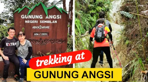
Watch our video shot at Gunung Angsi during our trip. 👇👇
If you have come so far reading this blog post, don't miss out on the video we shot during our hiking trip. Click the image below to watch on YouTube (shot in high definition!).
Other best places to visit in Malaysia
- Taman Negara Malaysia. Read our article about what you should do for a 3D2N trip to the National Park of Malaysia.
- Royal Belum Rainforest. Experience the best outdoor activities in one of the most virgin jungles in Malaysia.

Tey
Sunday 14th of April 2024
I saw you and your sister yesterday. Thank you so much your sister give me the water.
Mahendram
Sunday 10th of March 2024
9/3/24 i explore Gunung Angsi with my friends, it was hard trail. When go up not mich feel of climbing but when go down can feel my knee shaked. At summit of Angsi we rest having some light snack and enjoyed the environment.
Hana
Sunday 28th of January 2024
Go up and back is sm road
Allan
Tuesday 4th of July 2023
Hi,
Very nice write up, the photos were awesome. Is it possible to camp overnight at the summit of G. Angsi?
kwankp
Tuesday 4th of July 2023
My understanding is there is not campsite there :(
Yu Zhen
Tuesday 27th of September 2022
It's always a pleasure to read your blog. Can you please share your Facebook page or YouTube link?
kwankp
Friday 30th of September 2022
Sure: YouTube: https://www.youtube.com/channel/UCtlU1PjwjahzN8j-GXfOY7w
Facebook: https://www.facebook.com/profile.php?id=100057536195737