As an avid hiker, I had heard about Gunung Stong (Stong Hill) many times, especially from fellow hikers I met at Bukit Gasing, where we regularly hike in Kuala Lumpur.
So when we planned a week-long self-drive trip across central Peninsular Malaysia, I was really looking forward to finally hiking Stong Hill at Dabong, Kelantan.
Of course, one question kept coming to my mind: Why is it called Stong Hill?
Our guide, Ijai, shared a local explanation for the name Stong Hill. He said there is a large stone on the hill, and somehow, the name was mispronounced over time and eventually became “Stong,” a name that the locals have fondly continued to use.
What is the Stong Hill hike like?
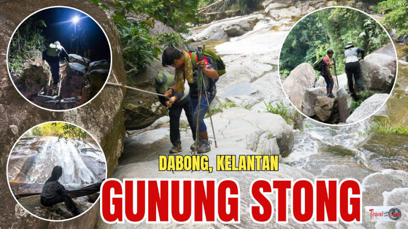
Our hike from Stong Hill Resort to Baha's Camp and the waterfalls was approximately 4 km, with an elevation gain of around 390 metres. The route included steep jungle trails, slippery roots and rocks, a river crossing, and a short section with ropes and metal rungs. The highlight was reaching Baha's Camp before sunrise and visiting Stong (Jelawang) Waterfall and Kolam Puteri Waterfall.
Starting the Stong Hill Hike Before Sunrise
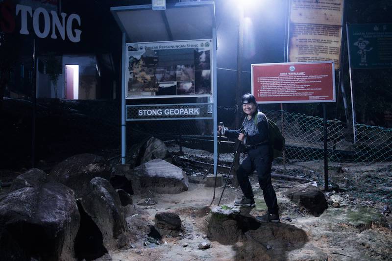
Our hiking day started at 4.30 a.m. We woke up, got ready, and headed to Stong Hill Resort, where the trailhead is located.
It was a great training hike for my second ascent of Mount Kinabalu next month. I’ll also need to start hiking around midnight with a headlamp and aim to reach the summit around sunrise, so this was a good little practice.
We weren’t planning to hike all the way to the summit, which takes about three days. Our target was Baha’s Camp, around 400 metres above sea level, next to Stong Waterfall.
Why so early? We wanted to reach the viewpoint at Baha’s Camp in time for sunrise. It’s also where Stong Waterfall is located.
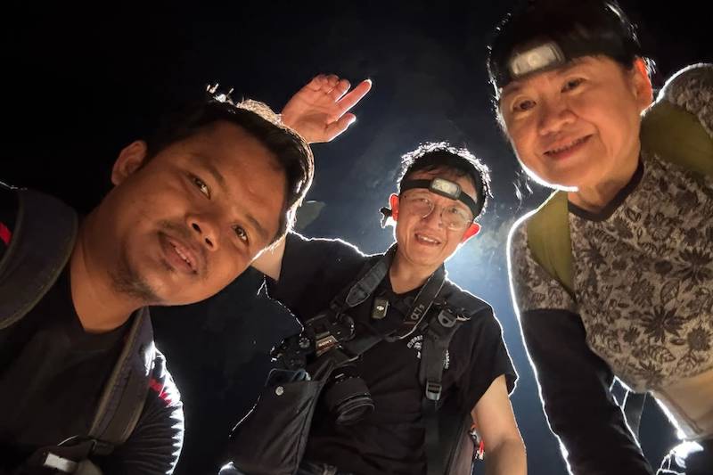
There were only three of us on the trail that morning: the two of us and our guide. Since the trailhead is inside the Stong Hill Resort, we had to arrange for someone to open the gate for us.
One useful tip: use the toilet at the resort before starting. The next one is at Baha’s Camp!
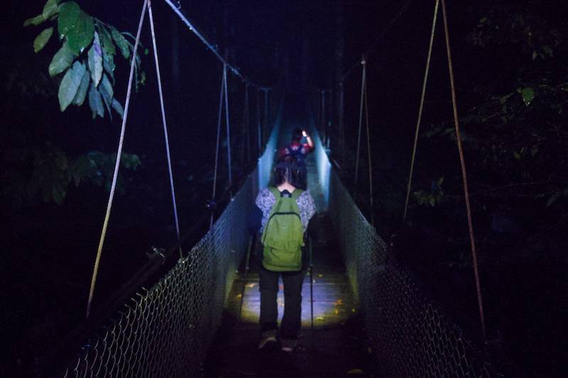
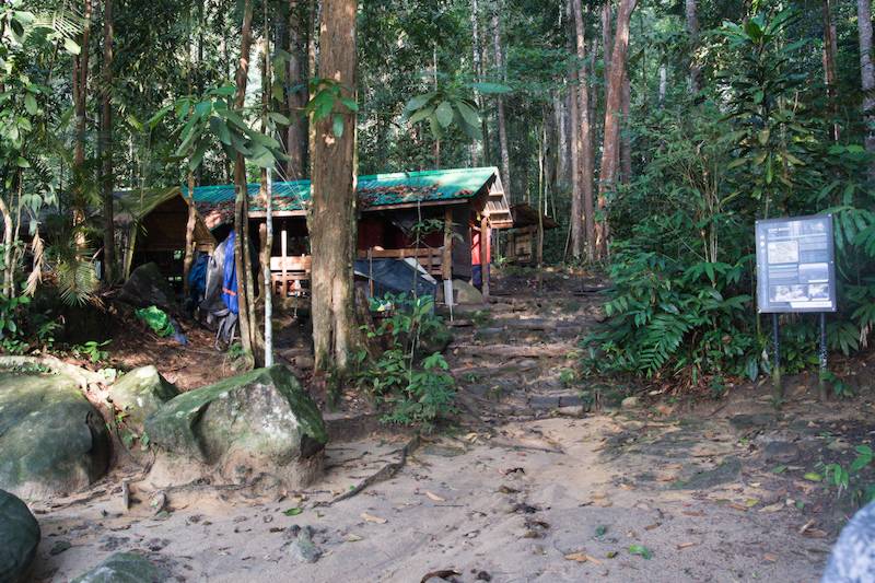
We started the hike through the resort, following the stone trail and steps, with a few dim lights along the way. Eventually, we reached a suspension bridge, which marked the real starting point of our hike.
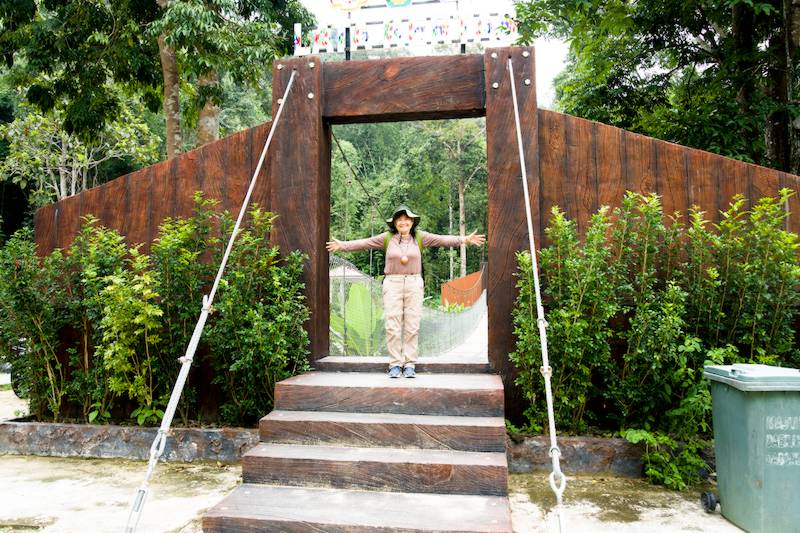
There was a CCTV camera at the bridge, apparently to record hikers crossing. It felt like a useful safety feature, especially since we were hiking so early in the morning.
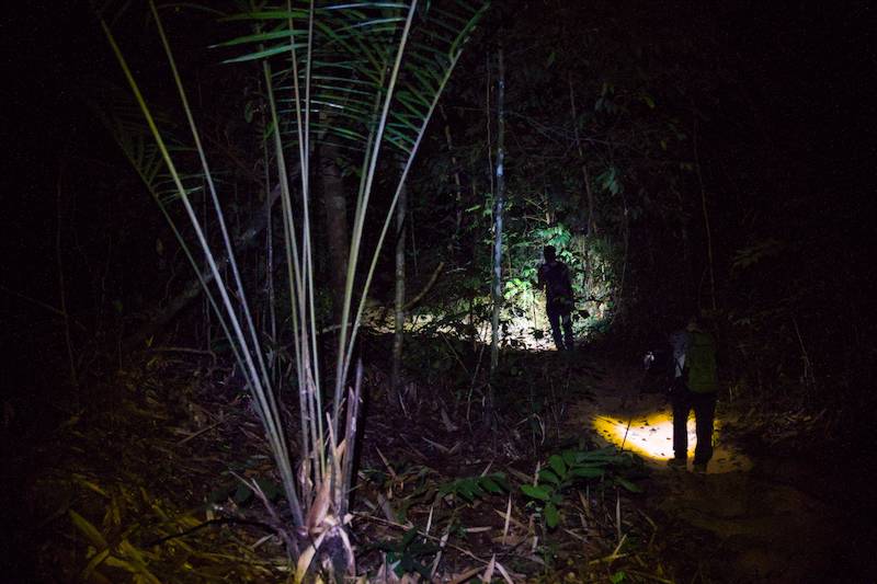
After crossing the bridge, there were no more lights. We passed an old, abandoned resort building, and from there, the proper jungle trail began.
Hiking Through the Jungle to Baha’s Camp
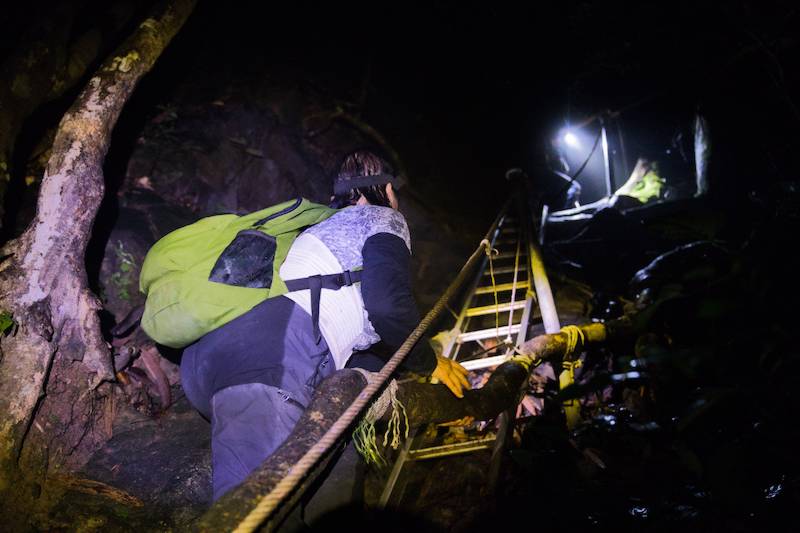
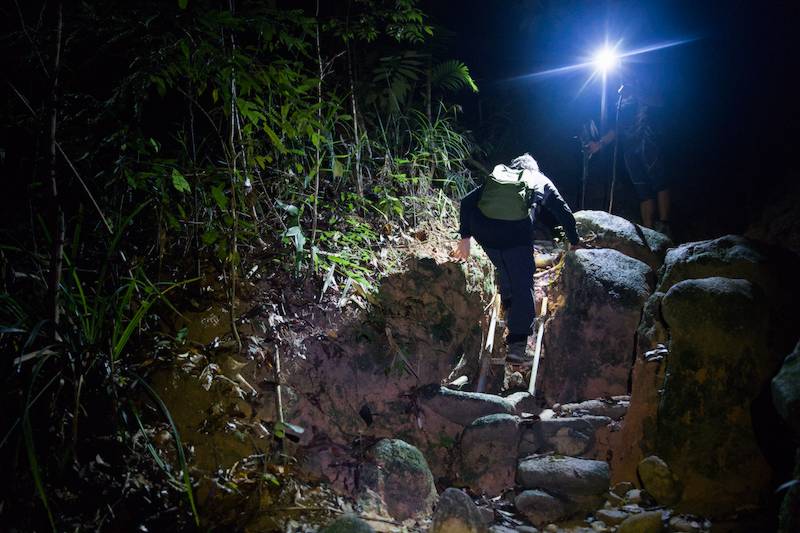
The trail quickly became more challenging. There were some steep sections with high steps and tree roots crossing the path. Some of the roots and surfaces were slippery, so we had to watch our footing carefully. A little further on, we came to a particularly steep section with a metal ladder installed to make the climb easier.
We soon passed a small sign marking Jelewang Jungle. Our guide explained that this area was once used for lodging, but after being abandoned, the vegetation gradually grew back. It has now become a secondary forest.
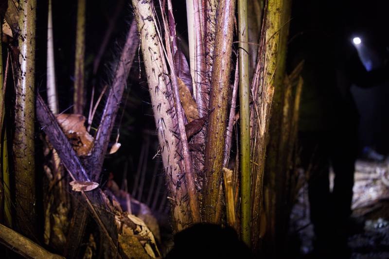
Walking through the jungle, we saw a variety of plants along the trail. Some had sharp thorns, so we had to be careful when reaching out to grab branches or trees for support.
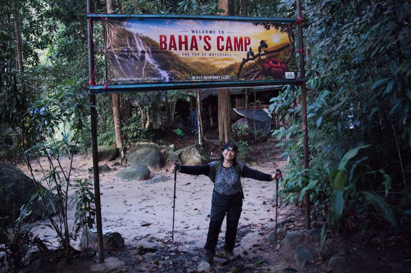
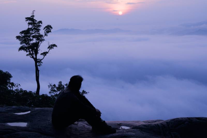
The trail was rocky in some sections, so we took our time and made a steady ascent. Eventually, we reached Baha’s Camp just as the sky was beginning to show the first signs of dawn. As the surroundings slowly became brighter, we switched off our headlamps and enjoyed the changing sky.
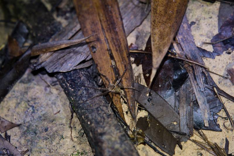
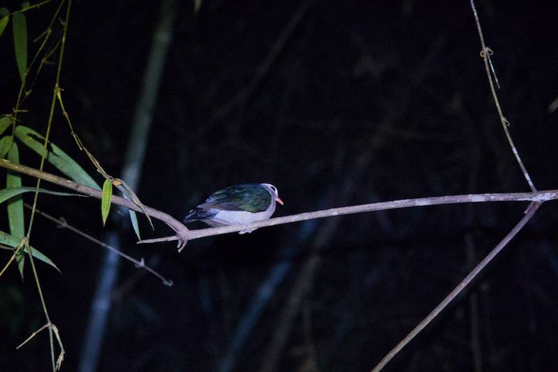
We didn’t encounter any large animals during the hike, although we did spot some large spiders, many ants and millipedes, and an Asian Emerald Dove quietly sleeping on a tree.
Sunrise at Baha’s Camp
From the camp, it was only about a minute’s walk to Stong Waterfall, also known as Jelewang Waterfall. The waterfall is quite spectacular. Large slabs of rock form a natural platform, with crystal-clear, shallow water flowing gently from upstream before suddenly dropping over the steep edge as a beautiful white curtain.
The morning light made the scene even more magical. The golden sun slowly emerged through the clouds, almost like a glowing egg yolk appearing in the sky, while the surrounding greenery and blue sky created a wonderful backdrop.
Stong Waterfall and Kolam Puteri Waterfall
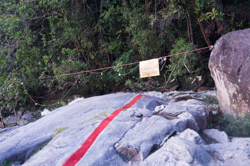
But the beauty comes with a serious warning. The cliff edge is extremely steep, and there have been accidents here before. Red warning lines clearly mark the dangerous areas. We stayed well away from the edge and followed the safety markings.
We spent some time at Stong Waterfall doing a little stretching and light exercise before having breakfast while looking out over a beautiful sea of clouds.
Stong Waterfall (Jelawang Waterfall)
What made the morning even more special was the complete solitude. There were just the three of us, with nobody else at the camp that day.
It felt very different from our usual hikes at Kem T-Rock of Bukit Gasing, where someone set up places to share free coffee and snacks on weekends.
Both experiences have their own charm. One gives us wonderful interaction with fellow hikers, while the other offers a quiet sense of solitude and a chance to simply enjoy nature alone.
Kolam Puteri Waterfall
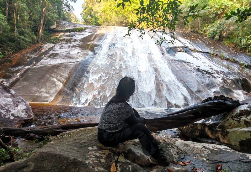
From Baha’s Camp, we continued upstream for just another two minutes and arrived at Kolam Puteri Waterfall, the waterfall above Jelewang Waterfall.
We climbed carefully over the rocks and sat close to the pool below the waterfall. From there, we could see the water cascading down like a curtain being released and unfolding in front of us.
The sound was just as beautiful as the view. Water rushing down, hitting the pool and splashing into countless droplets created its own natural rhythm. Sitting there and listening to it was surprisingly relaxing and enchanting.
Both waterfalls are beautiful, but I think I prefer Kolam Puteri. Perhaps it’s because we could get right up close to the waterfall and see it directly in front of us.
The Adventurous Descent and River Crossing
After enjoying the waterfalls, we returned to Baha’s Camp, used the toilet, and prepared for our descent.
By now, the sky was fully bright, and the trail felt completely different even though we were walking the same route in reverse. Going downhill may sound easier, but I actually found it more demanding. Every step requires my legs to control the descent, especially on steep and uneven ground.
At the junction halfway down, we took a different Stong Hill hiking trail by following the right fork toward the river. This turned out to be the most challenging section of the whole hike.
The section leading down to the river was particularly challenging for my wife. Luckily, our guide Ijai was there to help, and since there were only the three of us, we didn’t have to rush.
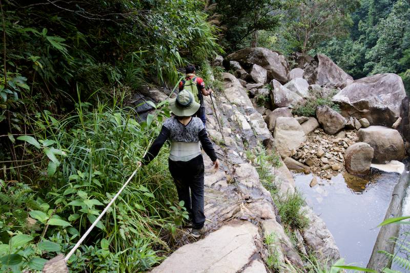
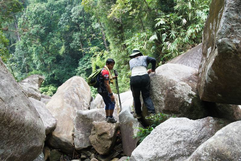
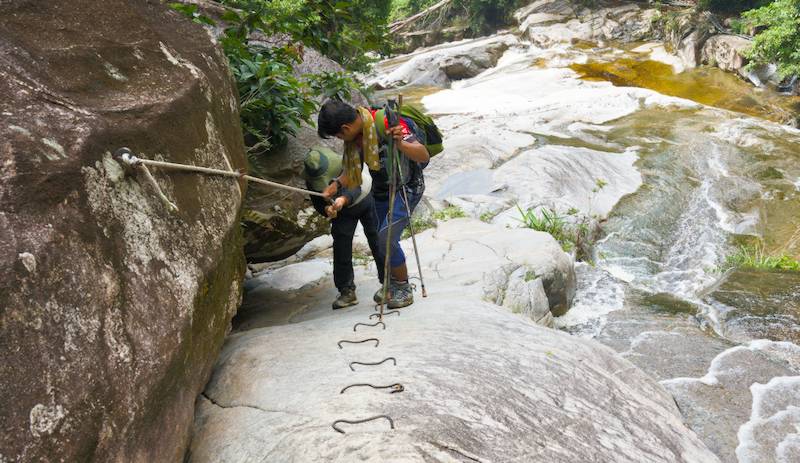
The final approach to the river involved climbing over some large, slippery rocks. We then descended through a narrow, uneven, and slippery section, with a steep drop on one side. A rope and metal rungs drilled into the rock face provided support.
After this thrilling section, we took off our shoes and crossed the river just downstream from the waterfall. There was also a rope across the river to help us keep our balance while crossing.
It was certainly one of the most thrilling parts of the hike!
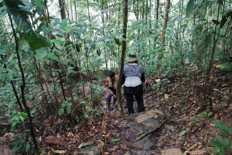
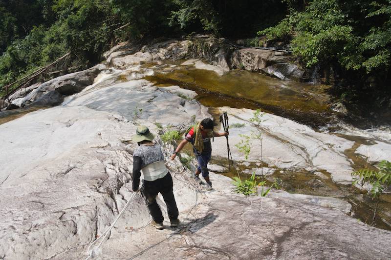
After crossing the river, the trail was relatively gentle at first. Soon, however, it turned into another steep descent, with large natural steps formed by the rocks and tree roots crossing the trail. Some of the roots were slippery, so we had to take our time and watch every step.
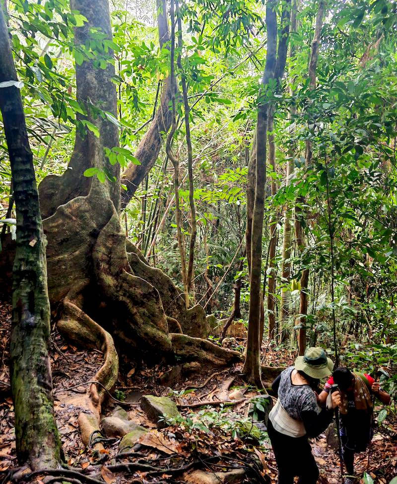
Along the way, we came across a few magnificent giant trees. These were definitely worth stopping for a moment to admire and take a few photos as a reminder of the hike.
Eventually, we made our way back to the suspension bridge where we had started, completing the loop.
What the Gunung Stong Hiking Was Really Like
The entire hike was about 4 km with around 390 metres of elevation gain. For an experienced hiker, it’s not particularly difficult, but the steep sections, slippery roots, rocks, and river crossing can make it quite tiring for beginners or anyone with leg problems.
For us, it was a short but rewarding adventure, with waterfalls, jungle trails, a river crossing, sunrise, and plenty of beautiful scenery along the way.
Overall, it was an enjoyable and exciting trekking experience. We started hiking in the darkness, watched a beautiful sunrise, and listened to what sounded like a morning symphony of nature. Somewhere in the jungle, likely monkeys, were calling to one another, their voices echoing through the forest.
We crossed a river, tackled a short mini via ferrata section using metal rungs and ropes, walked through the jungle, and finally returned to where we started.
We came back with nothing to take from the mountain, except photographs and the sounds of nature that will stay in our memories for a long time.
I would definitely recommend Bukit Stong hiking to enthusiastic hikers with a reasonable level of fitness. It’s not an extremely long hike, but the steep, slippery, and uneven sections require some care.
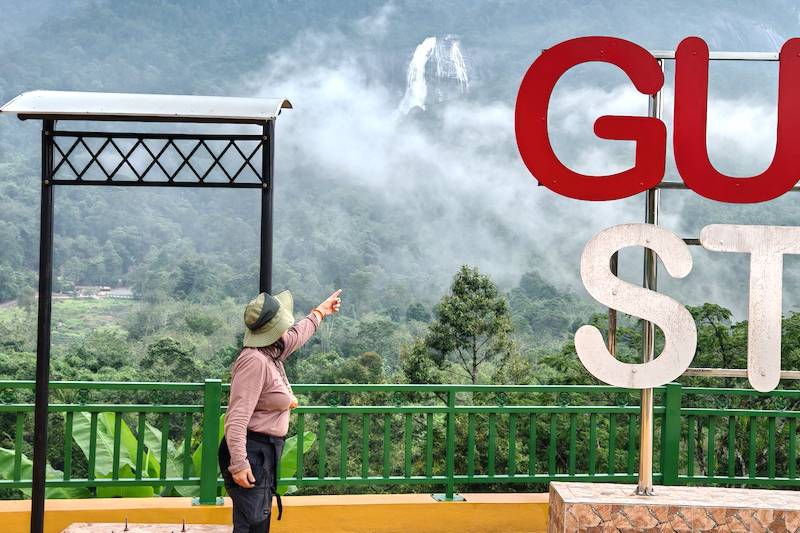
Our guide, Rizal “Ijai”
I would also strongly recommend our Stong Hill guide, Rizal (Ijai), a Dabong native and certified Malim Gunung (mountain guide) and geo guide. His experience and knowledge of Stong Hill and the surrounding Dabong area made us feel comfortable and confident throughout the hike. We always felt we were in good hands.
I’ll leave his contact here for anyone inspired by our experience and interested in arranging a Stong Hill hike in Dabong. You can also visit the website T More Empire Travel & Tours.
Stong Hill Hiking Information
- Location: Gunung Stong State Forest Park, Dabong, Kelantan, Malaysia
- Starting point: Stong Hill Resort
- Destination: Baha’s Camp
- Distance: About 4 km for our route
- Elevation gain: About 390 m
- Highlights: Baha’s Camp, sunrise, Jelawang/Stong Waterfall, Kolam Puteri Waterfall, jungle trail and river crossing
- Best experience: Early sunrise hike
- Guide: Local guide recommended
- Trail conditions: Steep, rocky, uneven, and slippery in places
- Difficulty: Moderate for experienced hikers; more demanding for beginners
🎬Watch our video shot at Gunung Stong
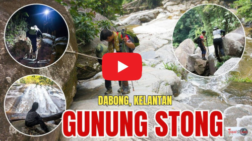
We’ve put together a video from this trip, which you can watch on YouTube by clicking the image below.