Bukit Kiara is one of the top two hiking destinations in Kuala Lumpur. There are many trails and interesting spots to stop by during the hikes. However, there are different entrances and complicated trail networks. Therefore, I am writing this detailed guide so you can clearly understand what Bukit Kiara offers.
This article is organized into the following sections.
- Different Entrances to Bukit Kiara
- Is it easy to navigate in Bukit Kiara?
- How challenging are the trails?
- Popular Places to Visit During Your Hike

Why is Bukit Kiara so popular among hikers in Kuala Lumpur?
Bukit Kiara is a favorite destination for hikers in Kuala Lumpur primarily because of its central location. Nestled between Taman Tun Dr. Ismail (TTDI) and Mont Kiara, it is a convenient green lung for residents.
Secondly, Bukit Kiara is within the city, providing a safe environment to explore as any direction will eventually return to urban areas. The area also enjoys complete internet coverage, which allows you to use hiking apps conveniently, even if you do not have an offline map.
Lastly, since Bukit Kiara isn't huge, you can cover all the main attractions in one day. However, I recommend splitting your hike into two sessions to avoid fatigue. Alternatively, you can select specific points of interest to explore in a single morning.
1. Different Entrances to Bukit Kiara Trail
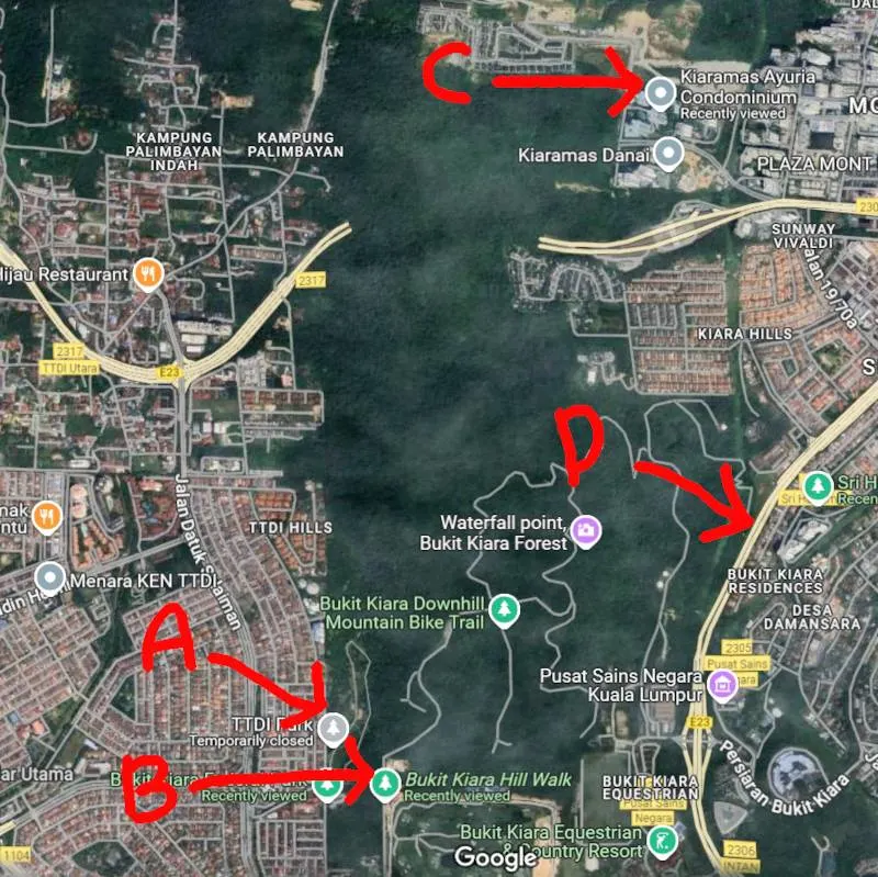
There are several official and unofficial entrances to Bukit Kiara. Below are the main entrances to Bukit Kiara.
a. Taman Persekutuan Main Entrance (TTDI) Park (GPS: 3.145830508843689, 101.6317260871789)
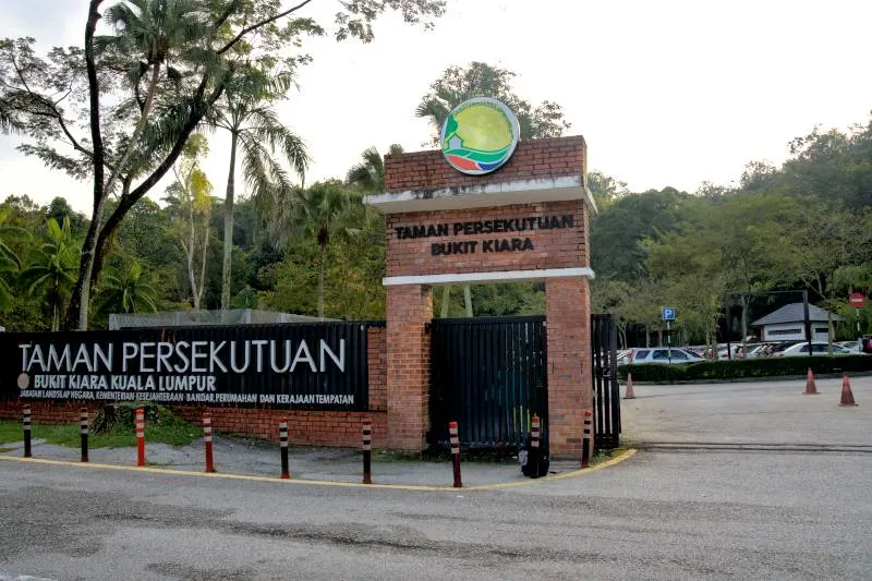
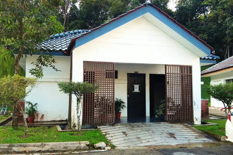
This is by far the most well-known and well-maintained entrance. Before you enter the hiking trail, you can use the toilet facilities. Please note that there are no toilets inside the entire hiking area.
Parking is available, but spaces are limited. You may have a better chance of finding a spot on weekdays, but parking will likely be tricky on public holidays, Saturdays, or Sunday mornings. Alternatively, park your car in the residential area across the road. This is allowed, but please be careful not to block any residential entrances and remember to be considerate of the residents.
b. Kiara Hill Walk Main Entrance (GPS: 3.1459255757678677, 101.63359289565231)

This entrance is a two-minute drive from the Taman Persekutuan main entrance. Alternatively, you can hike by trail inside the hill, which can reached within ten minutes.
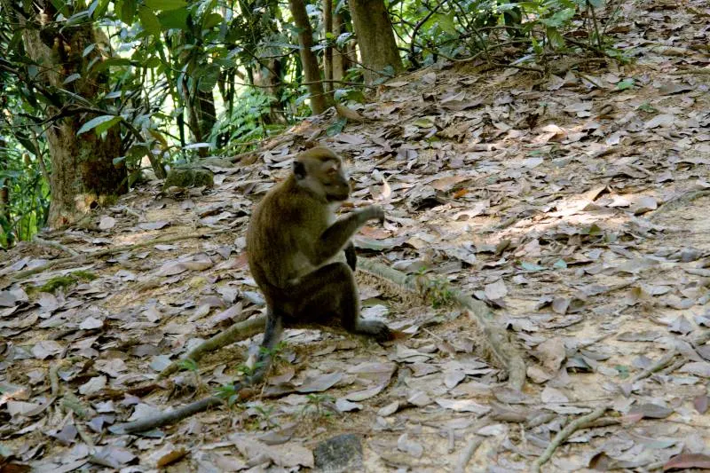
You can park your car along one side of the road outside the guardhouse, which is official. Besides, some vendors selling snacks and drinks occupy a few parking spots, especially in the morning.
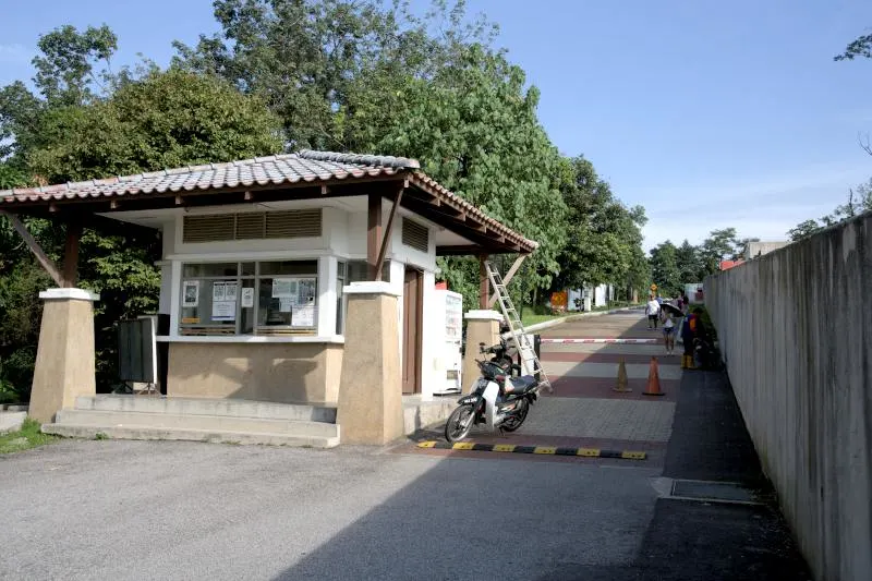
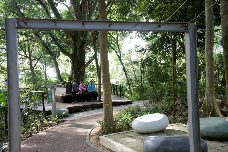
A guardhouse is at the entrance, but you do not need to pay. Once you pass the guardhouse, you will find a well-paved path that leads in. There are designated areas where you can sit and rest and spots for outdoor exercise. There are signboards to guide you on where to leave the paved road and enter the trails.
This is an excellent starting point for first-time hikers. However, please be aware that there are no toilet facilities on-site, so it's a good idea to stop at the nearest petrol station to use the restroom before you arrive.
c. Kiaramas Ayuria Condo Trailhead (GPS: 3°10'4.66176"N 101°38'29.24196"E)
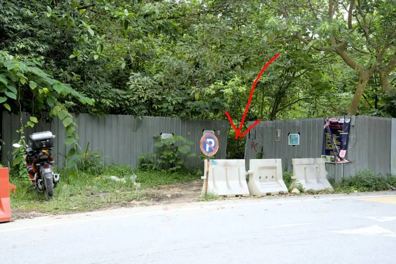
The two entrances I mentioned earlier are located on the side of Taman Tun Dr Ismail. If you are coming from Mont Kiara, the best way to enter Bukit Kiara is by using the trailhead directly opposite Kiaramas Ayuria Condominium.
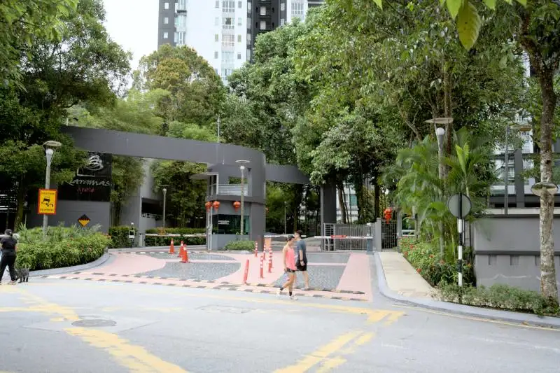
Unlike the other two I mentioned, this trailhead is unofficial. Fortunately, it is easy to find: It is directly across from the condominium's main entrance. Once you enter, if you’re on the right track, an abandoned car is on your left.

Please note that no toilet facilities are available here, and no vendors sell anything except a store about 100 meters from the trailhead. You can park your car along the road, but please ensure you are not blocking any traffic, as this is a residential area.
d. Sri Hartamas Entrance (GPS: 3°9'11.36916N 101°38'41.15544"E)
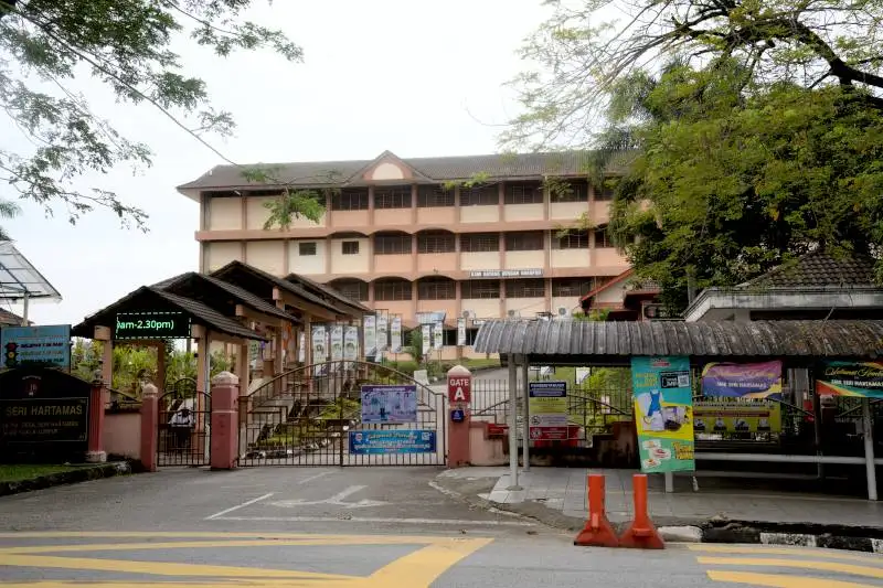
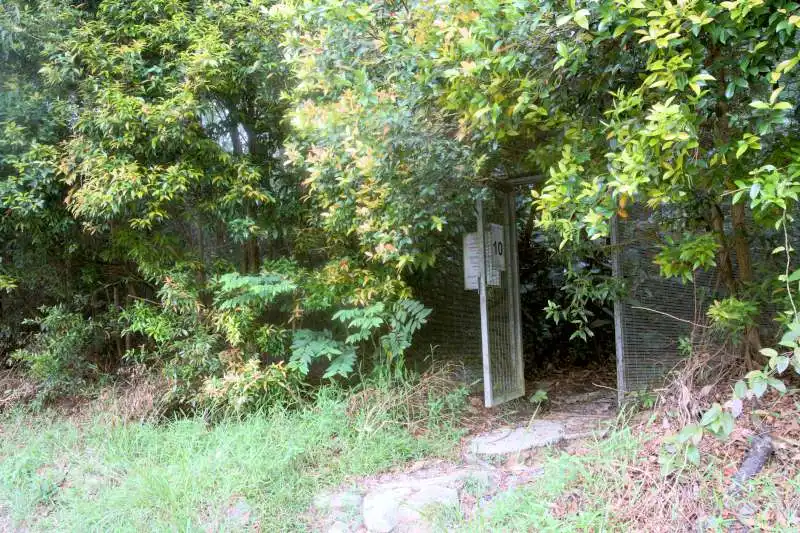
An alternative entrance at Seri Hartamas is along the highway behind SMK Seri Hartamas. This entrance is less popular because no parking is available along the highway. I had to park my car in front of the school SMK Seri Hartamas, which requires a seven-minute walk to reach the trailhead. The trailhead is marked by a metal gate numbered 10. However, I do not recommend it due to the difficulty of finding nearby parking and the absence of restrooms in the area.
Location of the entrances 👇
2. Is it easy to navigate in Bukit Kiara?
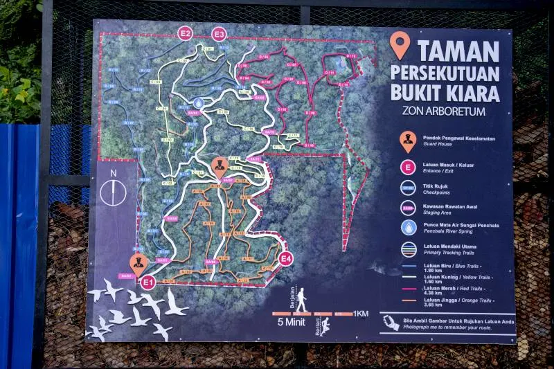
If you come from the Taman Persekutuan entrance, you'll notice a large signboard at the trailhead that marks several different-colored trails. My initial goal was to follow the trails of various colors separately: red, yellow, and blue. However, after completing my first hike, I realized that following these trails is nearly impossible as too many interchanges, diversions, and converging jungle paths lead me away from the original route. Besides, only specific main trails were marked, and I often ended up on other unmarked trails.
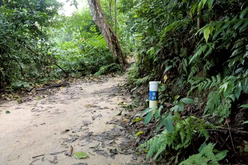
The more helpful signs for hikers are the vertical signs at various junctions. These signs indicate the direction of different trails. To use these signs effectively, you need a hiking app that displays the name of each trail, as the actual trails are not labeled with their respective names. I use Komoot, which shows the name of every trail, making it very useful and not worrying about getting lost during my hike.
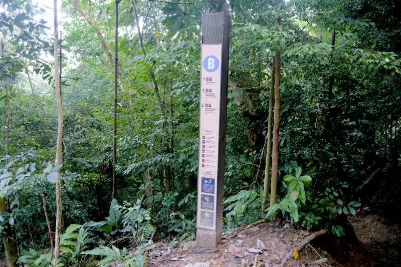
The most effective approach is to use a hiking map. When I explore a new area for the first time, I always plan my route. If I get lost or stray from the intended path, I can easily find my way back to the right path.
How to minimize the chances of getting lost in Bukit Kiara
If you are worried about getting lost, I would like to offer some suggestions.
- First, arrive early in the morning so you have enough time to find your way out if you get lost. If you arrive late in the afternoon, you may feel anxious knowing the sun will set soon.
- If you don't mind the crowd, consider hiking on weekends when many other hikers are around. If you are unsure which trail to take, you can ask someone, and most will be very helpful in showing you the right way.
- Finally, always plan your hiking trip using an app. I use Komoot, but you can also use AllTrails or any similar app. If you get lost, you'll have GPS directions to help you return to your starting point.
3. How challenging are the trails?
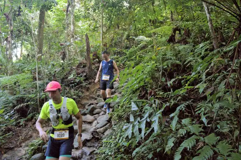
Hiking on these trails is relatively easy, primarily because the highest peak is only 258 meters, so there isn’t much elevation gain involved. However, there are certain sections where you need to climb a short distance at a 45-degree incline, such as on the Nuri Trail, one of the steepest parts of all, to visit the Angkor Wat tree and Temple Rock.
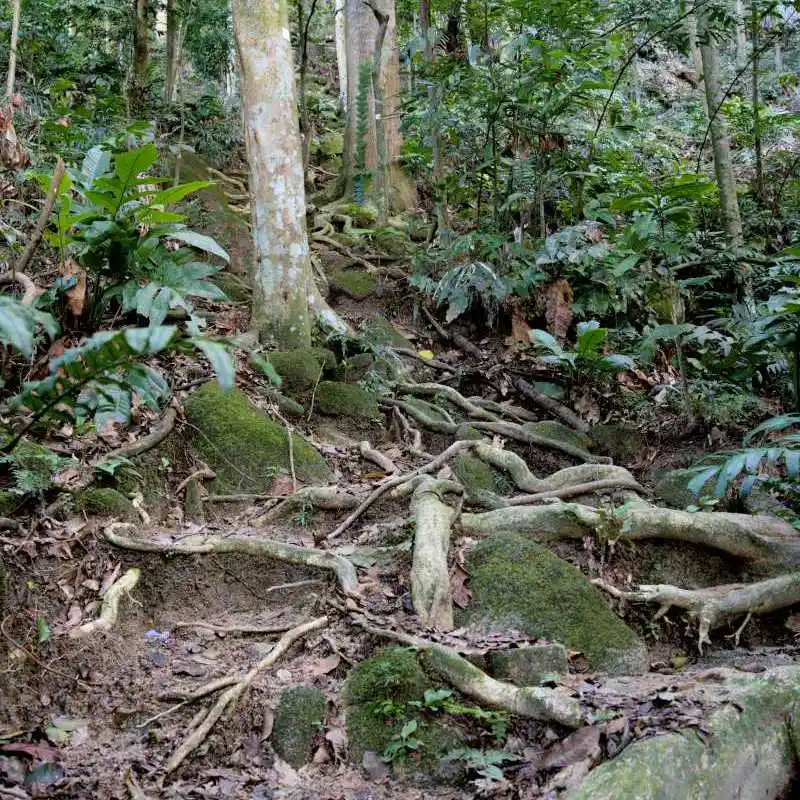
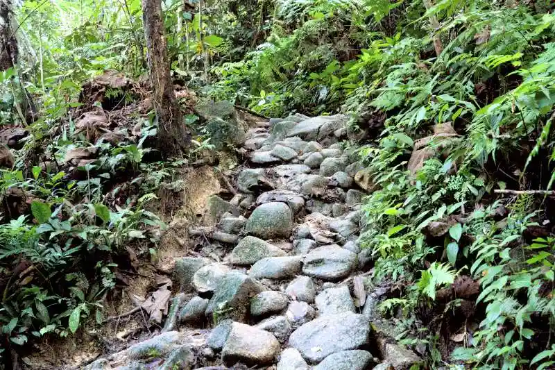
Besides, some areas, like the Rock Garden trail, can be rocky. Overall, most of the trails are pretty flat. Most fallen trees that blocked the path have been cleared, making the hikes more enjoyable. I even saw a family hiking with a young boy who appeared to be only three years old, and he managed to complete the trail without any trouble.
Bukit Kiara is also popular for biking. You may encounter mountain bikers along the trails. They will ring the bell to alert hikers before approaching, but it’s still important to remain cautious.
The hiking trails are untouched, as there are no man-made steps. This starkly contrasts with other places I’ve hiked, such as the Annapurna Base Camp trek I completed earlier this year, which featured numerous stone steps built by local villagers.
4. Popular Places to Visit During Your Hike
Here is a list of places worth stopping by during your hike. I will provide the GPS coordinates to help you find them easily.
1. Bukit Kiara’s Lake (GPS: 3°8'52.19988"N 101°38'10.71096"E)
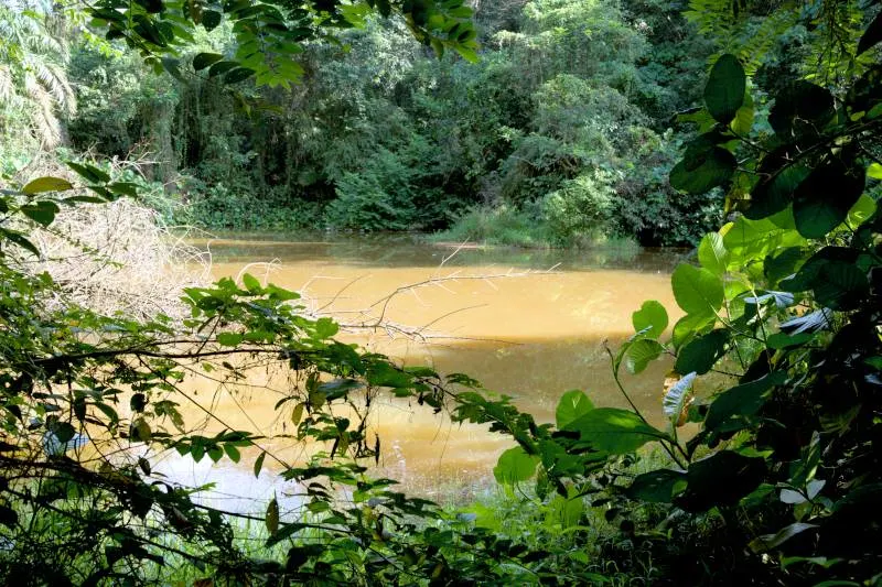
A small lake is located on the right side of the paved road at Kiara Hill Walk. While there isn't much to see, it is a serene spot with few hikers. I explored this path before returning to the main attraction, Twin Peak, as I was curious to see what the lake looked like.
2. Scenic Kuala Lumpur lookout point (GPS: 3°9'5.56056"N 101°38'7.53576"E)
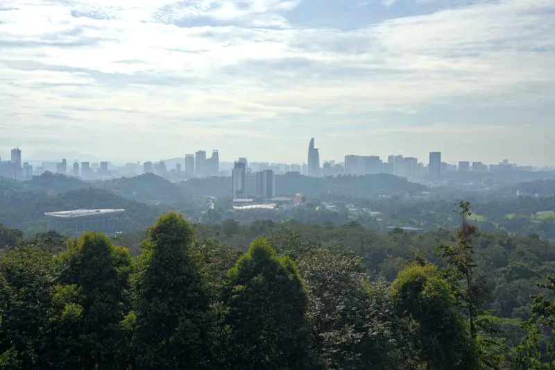
If you approach Twin Peak from the TTDI entrance, you will reach a viewpoint halfway up. You can enjoy a panoramic view of Kuala Lumpur city from this viewpoint.
3. Angkor Wat Tree and Temple Rock (GPS: 3°9'20.83284"N 101°38'2.66064"E)
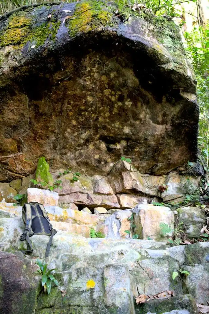
The Angkor Wat Tree has multiple roots that tangle over the rocks, resembling the trees at Angkor Wat. Next to it is a rock that used to be a temple. Both sites can be accessed via the Nuri Trail. There is also a tiny cave nearby. Please check your hiking route to locate this trail.
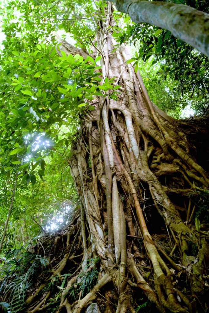
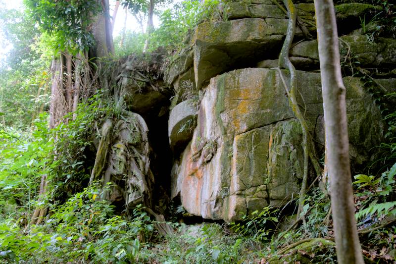
4. Big Rock near Bamboo eye (GPS: 3°9'22.56192"N 101°38'4.84512"E)
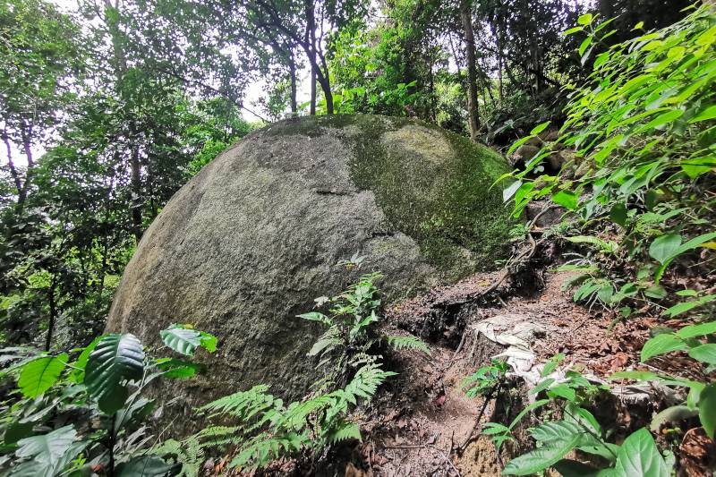
You'll find a large rock near the bamboo eye just off the main trail. If you leave the trail and walk for about three minutes, you'll reach it easily. This spot is fantastic for taking photos, especially from the bottom of the rock. Please note that a sign indicates a large bee hive further along the trail, so do not proceed beyond this point.
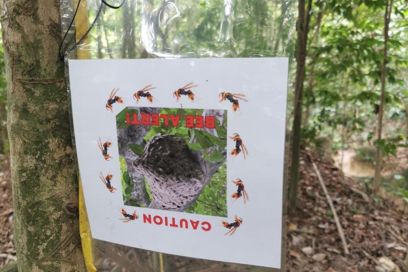
5. Bamboo Eye / Cat Eye (GPS: 3°9'25.7058"N 101°38'3.77916"E)
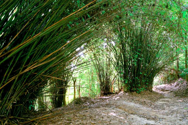
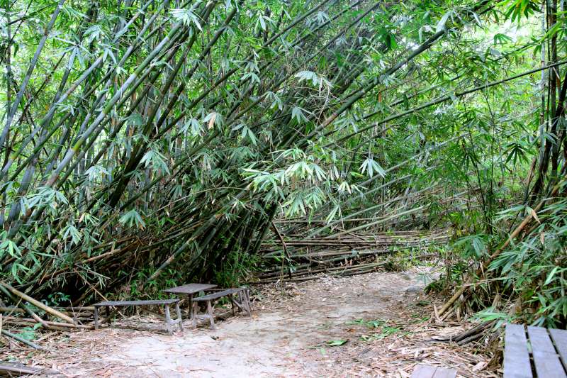
This is one of the most beautiful viewpoints at Bukit Kiara. It is located about five to ten minutes of hiking from the peak. The beauty of this spot comes from the bamboo, which grows on one side and bends over to the other side of the hiking trail, forming a circle along the path.
6. Twin Peak (GPS: 3°9'29.78352"N 101°38'9.8574"E)
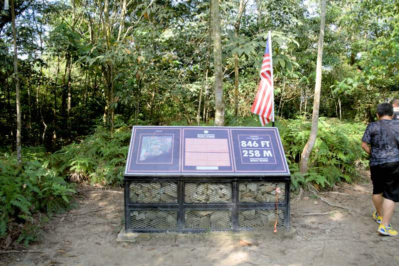
This is the most iconic location in Bukit Kiara. This location is between the TTDI entrance and the Kiaramas Ayuria Condominium entrance. Whether you're coming from either entrance, reaching this spot takes roughly the same amount of time.
7. Simpang Tiga (GPS: 3°9'29.22876"N 101°38'1.8042"E)
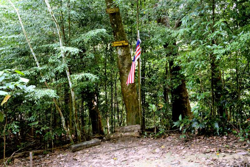
After arriving at Twin Peak from the TTDI side and continuing your hike towards the Mont Kiara area, you will reach a junction called Simpang Tiga, which means "three junctions." This spot is a popular resting place for hikers from the Mont Kiara side heading towards Twin Peak and beyond and for those making the reverse journey. If you take the third junction, it will lead you toward Twin Peak.
8. Gate 5 (GPS: 3°9'32.72724"N 101°38'1.94784"E)
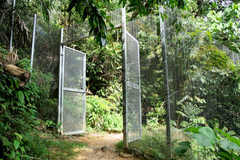
After passing Simpang Tiga, you will eventually come to a metal gate marking the entrance to the Mont Kiara side of Bukit Kiara. This prominent landmark is easily recognizable, making it a helpful reference point if you are uncertain which section of Bukit Kiara you are hiking in.
9. Starbucks Corner (GPS: 3°9'41.19768"N 101°38'7.28952"E)
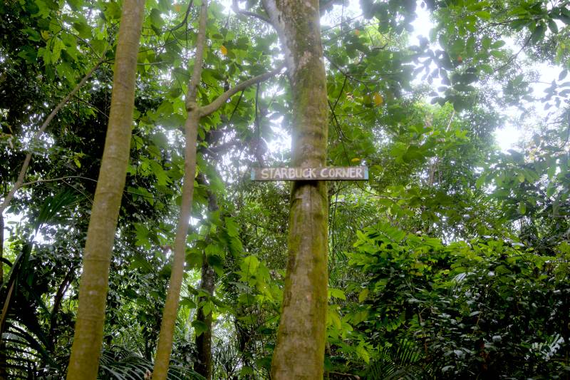
This junction is not too far from Bamboo Point. When I visited, a group of ladies enjoyed music and a picnic there. Although no one is selling coffee, the area has benches and tables, making it ideal for relaxing, chatting, and enjoying nature.
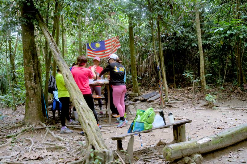
10. Bamboo Point (GPS: 3°9'44.9964"N 101°38'4.66476"E)
The scenery of this section is charming, with plentiful bamboo bushes. Tables and benches are available if you want to take a break during your hike.
11. Big Rock near Sri Hartamas
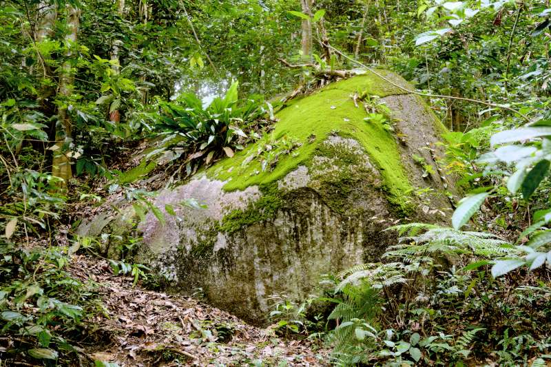
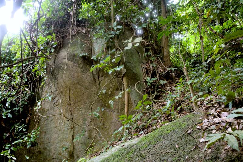
If you are hiking from the entrance in Seri Hartamas, you will likely encounter two large rocks nearby. This area tends to be less frequented by hikers, so if you visit on a weekday, you're unlikely to run into many people. During my hike on a weekday, I encountered just two other individuals throughout the entire trail.
12. Bukit Kiara Waterfalls and stream (GPS: 3°09'11.4"N 101°38'41.2"E)
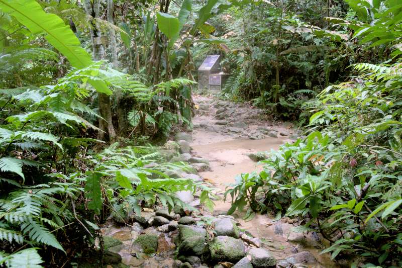
During my visit, the waterfall had been reduced to a small stream because it wasn't the rainy season.
Other viewpoints I have visited
Besides the above points of interest in Bukit Kiara, I would like to mention two more places. The first is HAWA, a medicinal plant garden located next to the tarmac road, approximately a ten-minute slow walk from the Kiara Hill Walk entrance. The garden features benches where you can relax, chat with friends, and exercise at the nearby open gym stations.

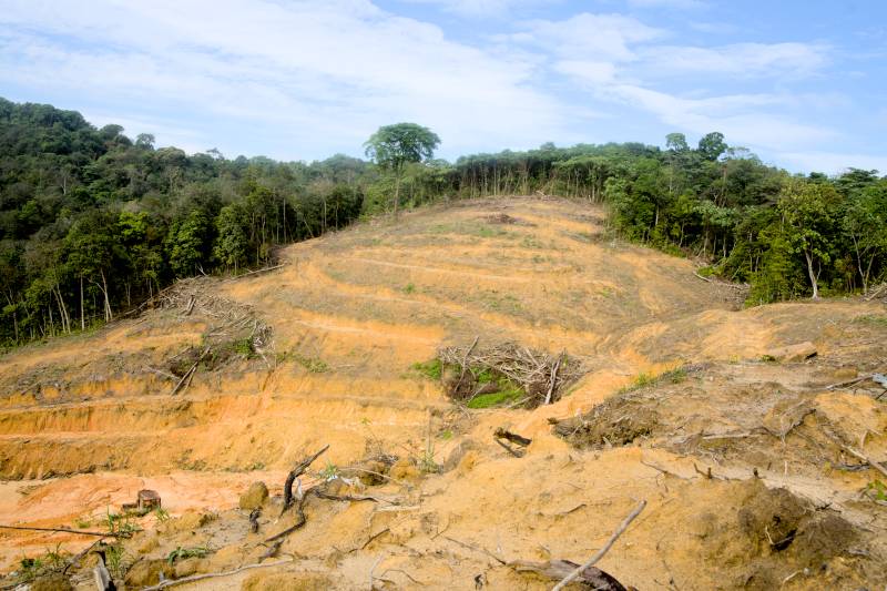
The second point of concern is the ongoing development in this area. Large-scale construction is taking place around Bukit Kiara, with one project located near the entrance of the Kiaramas Ayuria Trailhead. While this may not be an attraction, there is a significant threat to the existence of this green lung in Kuala Lumpur. If you're interested, you can reach this place on the left side of the Edmund Trail, assuming you are entering from the Kiaramas Ayuria trailhead. The GPS coordinates are 3°10'0.57"N 101°38'19.41792"E.
🎞️ Watch the video I shot at Bukit Kiara
Please watch the video we made at Bukit Kiara by clicking the image below.
