
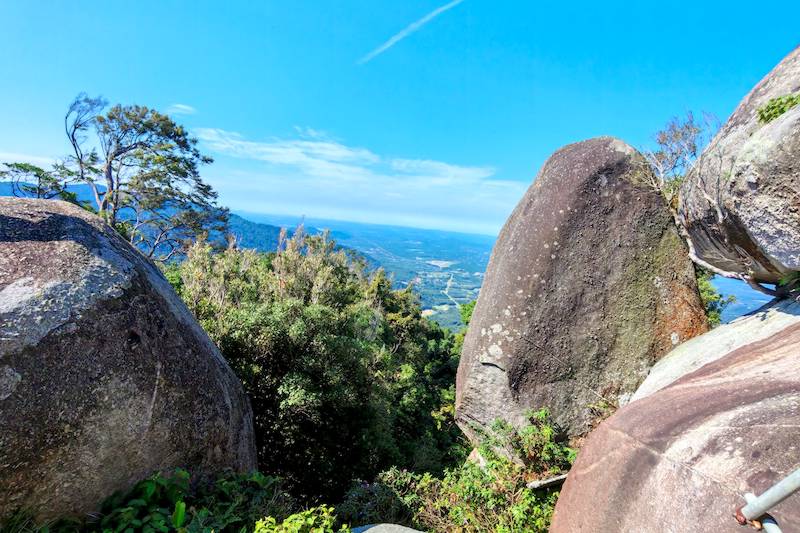
Gunung Datuk is a famous mountain among avid hikers in Negeri Sembilan. It is about a 1.5 hour drive from Kuala Lumpur, so we woke up early and arrived at the parking area around 7:30 a.m. The weather was great that morning, and we were hoping for a clear panoramic view from the top.
This was quite an interesting hike for us. The trail has plenty of rocks, large boulders, tree roots and steep sections, and there are parts where you need to use your hands to get yourself up and over the rocks.
The summit is also quite unusual. There are huge rocks around the highest point, with stairs and ladders installed to help hikers reach the top. If the weather is clear, you can enjoy a panoramic view from up there.
So, let me take you through our Gunung Datuk hike, from the time we arrived at the trailhead until we made our way back down.
Content
Note: Click any item to jump straight to that part of the post.
Getting to Gunung Datuk
We arrived at the parking area at around 7:30 a.m. and found plenty of space to park. The good thing is that there was no parking fee when we visited, so we could simply park the car and get ourselves ready.
There are toilets and showers right next to the parking area, which is quite convenient, especially after finishing the hike. There are also two small shops around the parking area. One sells drinks and the other sells burgers.
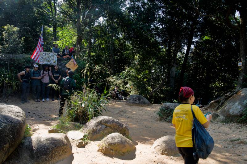
After getting ready, we walked a short distance towards the trailhead and climbed a metal staircase. We then came to a colorful cemented path leading to the registration table.
That was where we had to register before starting the hike.
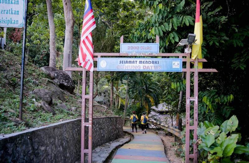
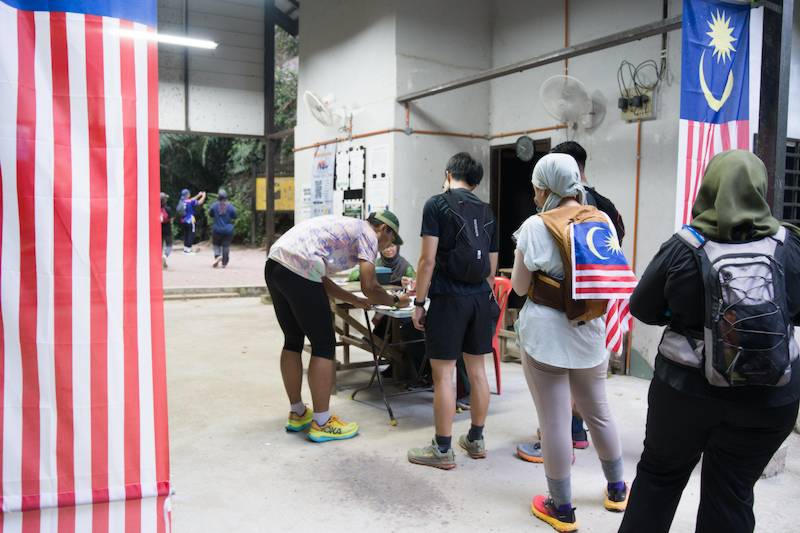
Gunung Datuk Registration and Fees
Registration is required before you begin the hike. When we visited, the fee was RM5 per Malaysian and RM30 for foreigners. Foreign hikers also need to get a guide.
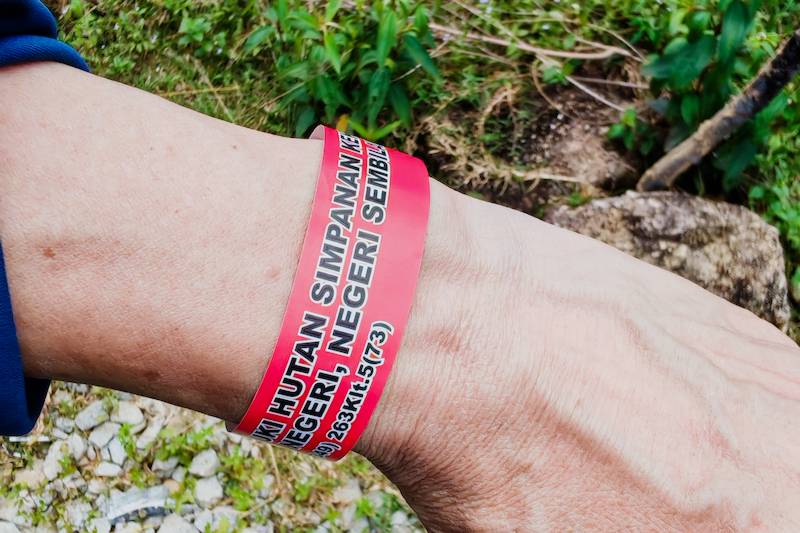
After registering, each of us was given a wristband.
Everything was ready. Let's start the hike!
Starting the Gunung Datuk Hiking Trail
The first part of the Gunung Datuk trail is relatively flat. There are some tree roots crossing the path, but there aren't too many obstacles at this point, so it is a fairly easy start.
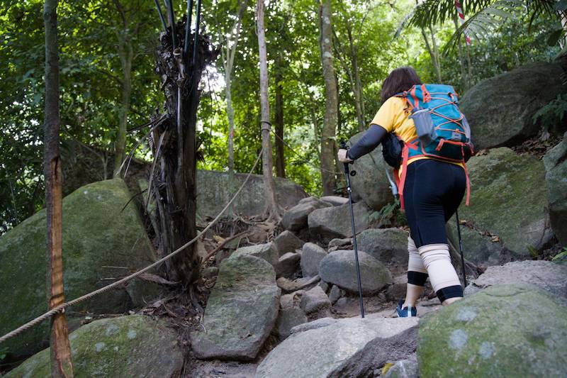
Gradually, the trail starts to change. We began to see more and more large rocks along the way. Some were almost as tall as us, and we had to find our way between them as we continued uphill.
There are ropes along some sections. They might be useful, although I found that they weren't really necessary if you have good footing.
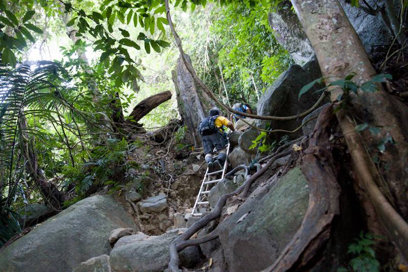
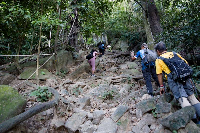
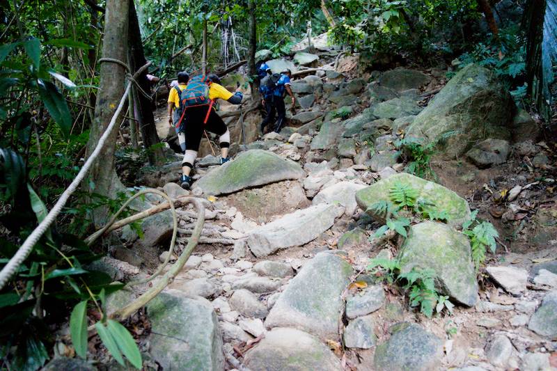
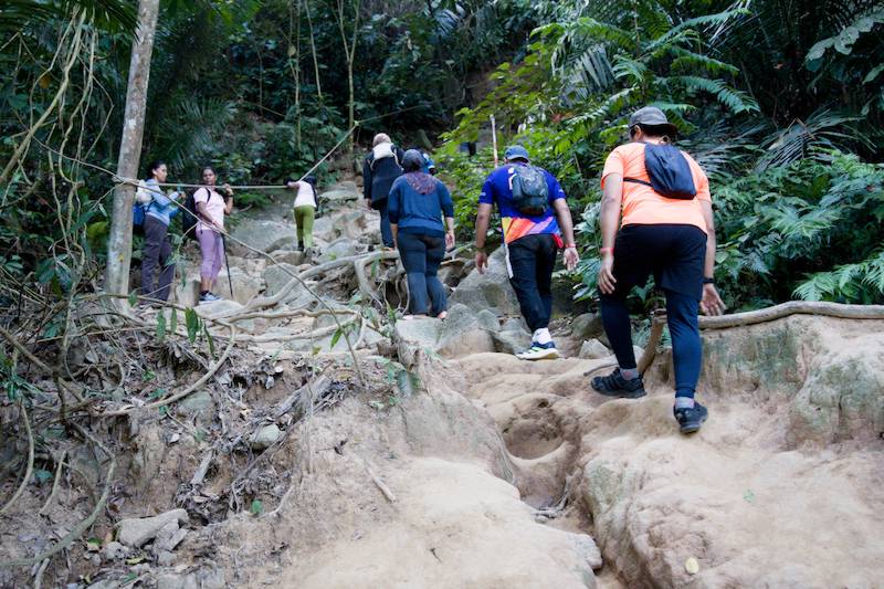
As we went higher, the trail became more difficult. Eventually, the path was almost completely blocked by large rocks. The trail was also getting steeper, so we had to use our hands to help ourselves move forward and upward.
This is where the hike became quite different from simply walking uphill. We had to keep looking for a place to put our feet, decide where to put our hands and work out how to get around the rocks.
The Rocky Trail Gets Steeper
Hiking sticks can be useful here, although I did not use one. Instead, I used my hands to hold onto the rocks and sometimes used trees and roots to steady myself.
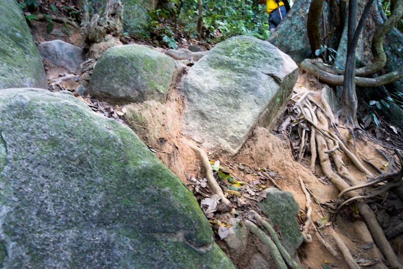
There are also plenty of smaller stones between the large boulders. Some of them are loose, so we had to make sure our footing was firm before taking the next step.
By now, rocks, larger roots that could trip our feet and big boulders had become the main obstacles. We naturally became quieter and concentrated more on where we were putting our feet.
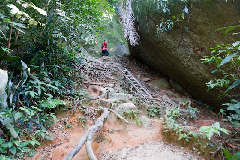
There are a few metal ladders at some of the steeper sections. These are quite useful because the next footing can sometimes be a large step away, and the ground is uneven in certain places.
Along the trail, there are also yellow signs showing how far we have hiked. They give us a rough idea of how much further we have to go before reaching the peak.
For some sections, using your hands is almost unavoidable. That's what I did, anyway, unless you are very experienced with this type of rocky terrain.
And watch out for thorny trees. I almost got hurt by one of them, so I think wearing gloves is not a bad idea if you are planning to hike Gunung Datuk.
Reaching CP1
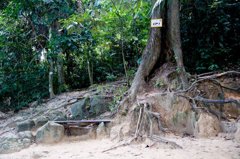
Eventually, we arrived at CP1, or Checkpoint 1.
We stopped here for a short rest. There are some simple benches at CP1, and the area is relatively flat, so quite a few hikers stop here to recharge before continuing.
For me, it was actually nice to see a level section without rocks or roots. It was the first time since we started that we had come across such a comfortable section, and it felt like a rare treat on this trail.
After our short rest, we continued hiking. Along the way, there were more yellow signs telling us how far we were from the peak.
The trail continued to be rocky, with large boulders and uneven ground. We had to keep paying attention to every step.
CP2 and the Huge Boulders
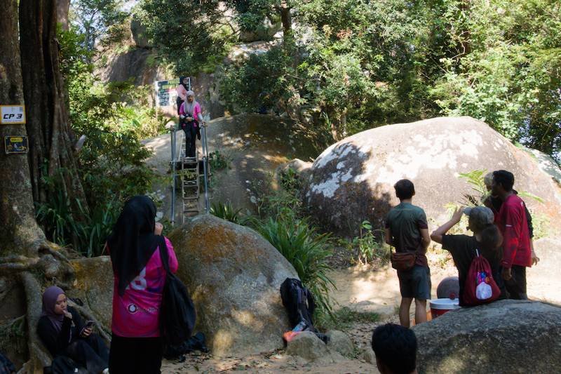
We eventually reached CP2, the second checkpoint. We had some chats with other hikers here and took another short break before continuing.
One thing you will notice on the Gunung Datuk hiking trail is the number of large rocks along the way. Some of them are enormous.
When you stand next to one of these huge boulders, you really get a sense of its size. The trail continues through this rocky landscape, and now and then another huge boulder appears.
It keeps the hike interesting because the trail is constantly changing as we climb higher.
Reaching the Gunung Datuk Summit
Finally, after all that climbing, we reached the top.
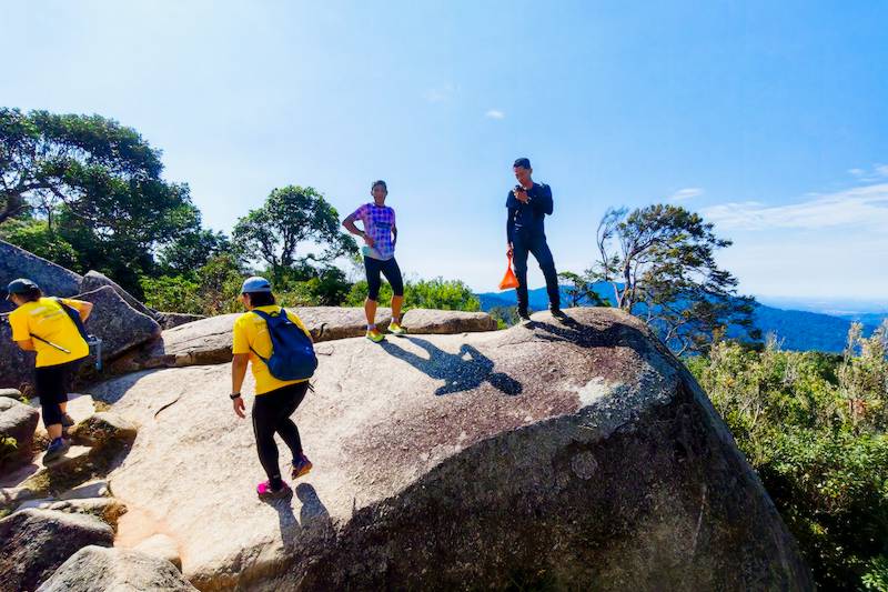
There is a relatively flat area at the summit where many hikers stop to take pictures, rest and enjoy the surroundings.
But this isn't actually the highest point of Gunung Datuk.
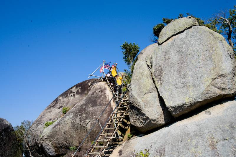
The highest point is further up, on a few huge rocks. Trying to climb directly onto these rocks would be beyond the ability of most hikers and too dangerous.
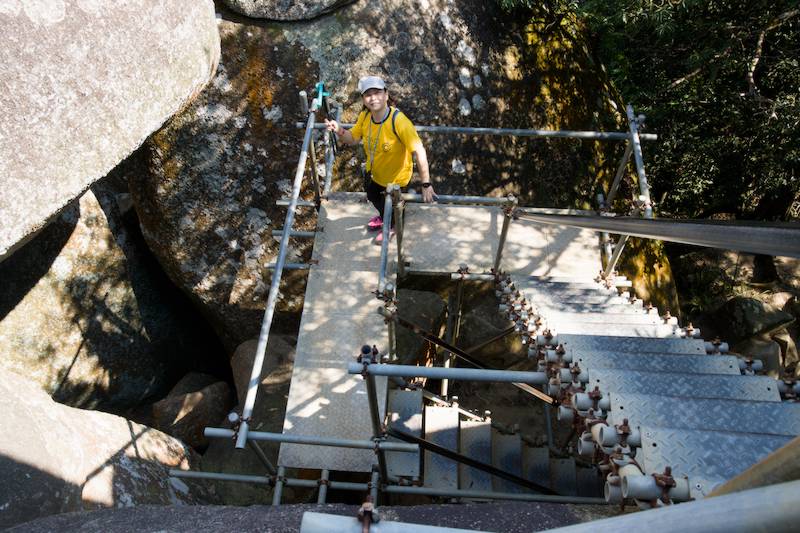
Fortunately, stairs and ladders have been installed so hikers can reach the highest point more safely.
So, we climbed the stairs and ladders to get to the top.
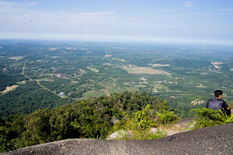
And once we got there, we could finally enjoy the panoramic view.
The Panoramic View from the Top
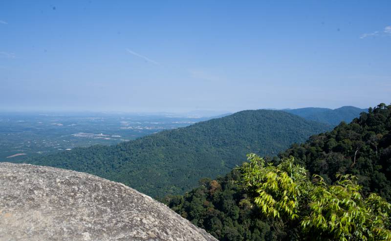
From the summit, you can see the city below on one side. On the other side, you can see the mountains. With the views open in every direction, there was plenty to see from the top.
What really caught my attention, though, was the landscape of huge boulders around us. It was boulder after boulder, creating a very unusual landscape.
The weather was also almost perfect that morning. The sky was blue, the wind was moderate and, despite the strong sun, it wasn't too hot because of the elevation.
We couldn't have asked for much better weather for our Gunung Datuk hike.
Merdeka Day at Gunung Datuk
There was another reason this particular hike was special.
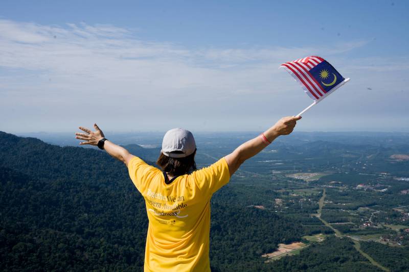
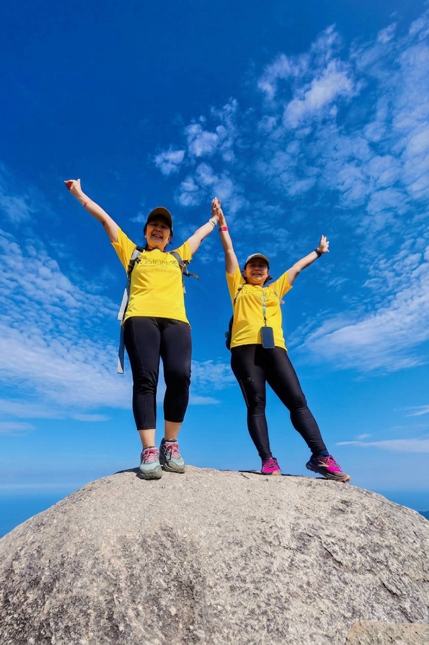
It was Merdeka Day, Malaysia's National Day. So, of course, we brought along our national flag. We waved the Malaysian flag at the summit and took some photos to remember the day. It was a nice way to mark the occasion, especially with such a beautiful view behind us.
Of course, we weren't the only ones enjoying the summit. There were quite a lot of people at the top. Everyone was trying to find a good position for photos and somewhere to sit down and enjoy the view. So, although the summit was beautiful, it was actually quite crowded.
After spending some time at the top, taking photographs, enjoying the view and eating our ice cream, it was time to go down.
Going Down Was Harder Than Going Up
I actually found the descent more difficult than going up.
When you are climbing upward, you can see where you are going and use your hands to pull yourself over some of the rocks. Going down is different. You have to control every step and make sure your feet land securely before putting your weight on them.
We had to navigate tree roots, huge rocks, loose small stones, gaps in the trail and sometimes climb over large boulders.
There were also sections where we had to control our steps while descending on loose sand. At times, we needed to use both our hands and feet. Sometimes we even had to lower our bodies to keep our center of gravity low and make sure we didn't tumble down.
The Symphony of the Jungle
But something really nice happened while we were making our way down.
We were lucky enough to hear what sounded like the symphony of the jungle. Somewhere in the forest, we could hear gibbons making their calls.
At least, I guess they were gibbons! We couldn't see them, but we could certainly hear them. And honestly, it sounded 100 times better than music coming from our speakers!
Moments like this are one of the reasons I enjoy hiking. You never quite know what you are going to hear or see along the trail. (Listen to the sounds of the jungle in the video below at 00:00.)
The Rocky Descent After CP1
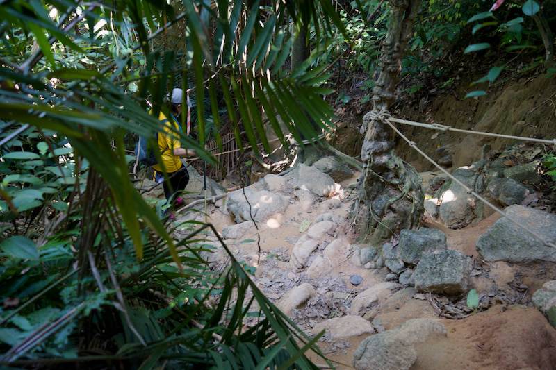
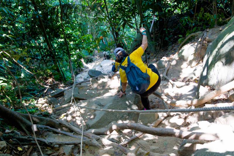
After Checkpoint 1, or CP1, we entered the section of the trail with the most rocks.
And now, descending was much harder than ascending. We became very slow, but going slowly was 100% necessary because there were so many obstacles along the trail.
Loose sand, tree roots, boulders, loose stones and large gaps in the trail all required our full attention. There was simply no point trying to rush.
Back at the Trailhead
Finally, we returned to the trailhead.
It took us 1 hour and 40 minutes to reach the top, while the return trip took 1 hour and 20 minutes.
We were hiking at a moderate pace, so I think these timings give a fairly realistic reference for other hikers.
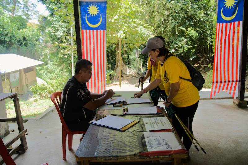
Back at the registration table, we signed out in the trail record book.
And just like that, our hike was officially completed!
We then went back to the drink shop near the parking area and had some iced tea. After spending the morning climbing, scrambling over rocks and enjoying the views from the summit, that cold drink was very welcome.
And that marked the end of our wonderful morning hike at Gunung Datuk.
🎬Watch our video
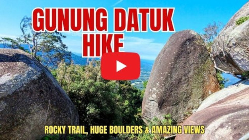
We’ve put together a video from this trip, which you can watch on YouTube by clicking the image below.
If you enjoy hiking, you may also like to read about our other hiking trips here.
Gunung Datuk Hiking Information
If you are planning a Gunung Datuk hike, here are some useful details based on our visit.
- Location: Negeri Sembilan, Malaysia
- Distance from Kuala Lumpur: About a 1.5 hour drive
- Parking: Plenty of parking was available when we visited, and there was no parking fee.
- Facilities: Toilets and showers are available near the parking area.
- Food and drinks: There are small shops near the parking area selling drinks and burgers. Ice cream was also available at the summit when we visited.
- Registration: Registration is required before starting the hike.
- Registration fee: RM5 for Malaysians and RM30 for foreigners when we visited.
- Guide: Foreign hikers need to get a guide.
- Our hiking time: 1 hour and 40 minutes to the summit and 1 hour and 20 minutes to return.
- Trail conditions: Expect plenty of rocks, large boulders, tree roots, loose stones, loose sand and steep sections. Metal stairs, ladders and ropes are available at some sections.
- What to watch out for: Be particularly careful on loose stones and sand, especially during the descent. There are also thorny trees along the trail, so gloves may be useful.